National AI Awards 2025Discover AI's trailblazers! Join us to celebrate innovation and nominate industry leaders.

Nominate & Attend

Drone Coordinator

Bouygues Construction SA
Ipswich
1 month ago
Create job alert

Specialized in civil engineering and engineering structures, Bouygues Travaux Publics is one of the world leaders in the fields of land use planning and sustainable infrastructure construction. Bouygues Travaux Publics is committed to diversity and is open to all talents.

I’m currently looking for a skilled and versatile Drone / UAV Coordinator to join our team at the Civil Works Alliance (CWA), where we’re supporting the build of one of the UK’s most important infrastructure projects – Sizewell C.

This is a unique opportunity to play a pivotal role in a project that will generate enough low-carbon electricity to power around 6 million homes and help secure the country’s clean energy future for the next 60 years.

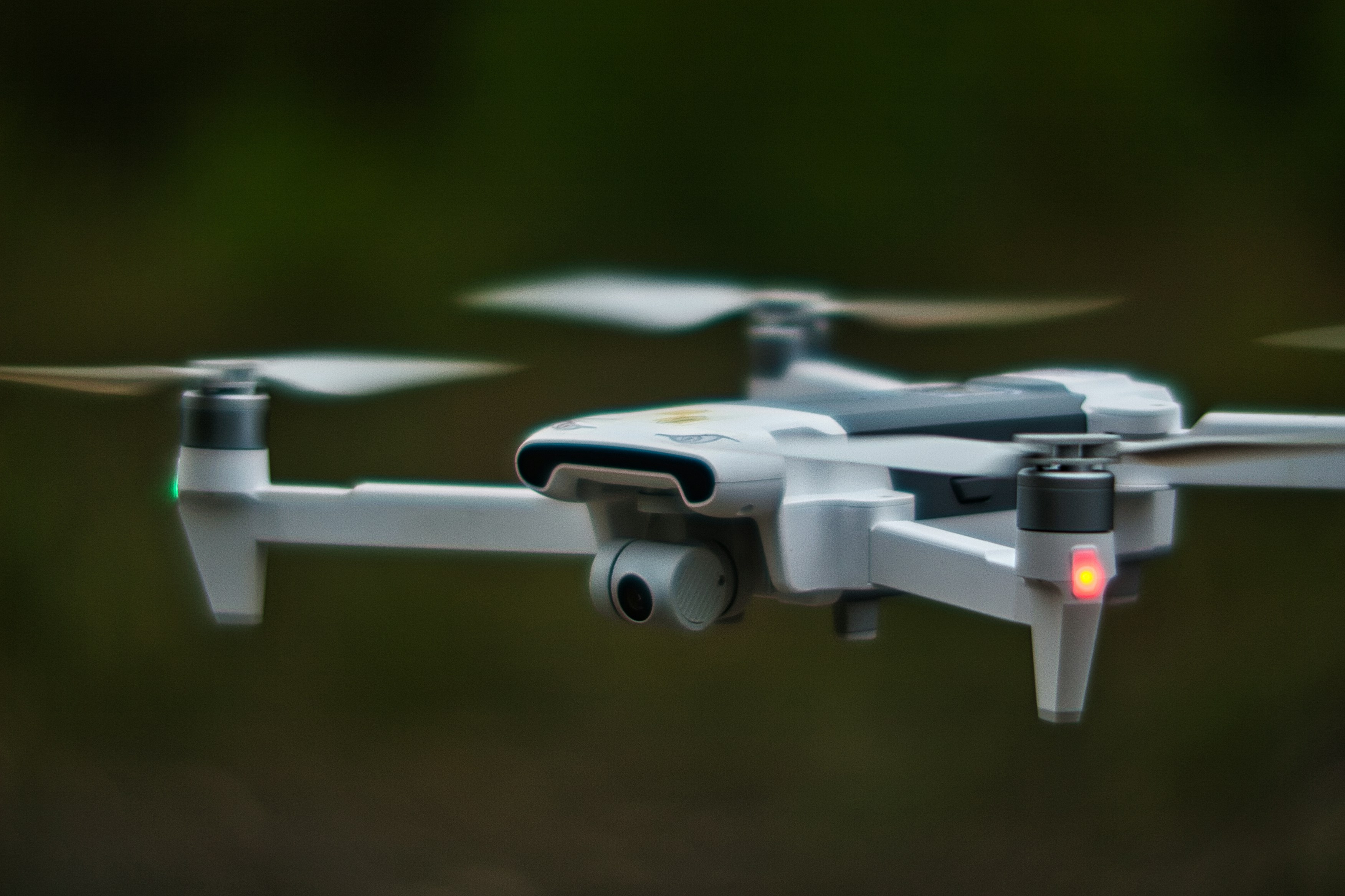
As our Drone / UAV Coordinator, you’ll be the go-to expert for coordinating aerial operations across the Sizewell C site. You’ll lead the planning and execution of drone surveys, inspections, and mapping – not just flying UAVs, but managing the entire workflow from pre-flight logistics and compliance to post-flight data processing and insight generation.

Key responsibilities will include:

Planning and managing all drone operations across the CWA on the Sizewell C project.

Conducting UAV flights for aerial surveys, environmental monitoring, and media capture.

Ensuring compliance with all aviation regulations, safety procedures, and internal protocols.

Processing and analysing geospatial data using GIS and photogrammetry tools such as ArcGIS, DroneDeploy, Propeller, and Pix4D.

Creating reports, 3D models, and visualisations to support engineering, safety, and environmental teams.

Maintaining the drone fleet and serving as the central contact for all drone-related coordination.

This role is a great fit for someone with a proven background in UAV operations, geospatial data, and digital coordination in infrastructure or environmental settings. You’ll need to be acertified UAV pilot(CAA A2 CofC, GVC, or equivalent), and experienced with GIS platforms, spatial data formats, and modern drone tech.

A strong understanding of airspace regulations and UAV safety best practices.

Experience delivering insights through photogrammetry, mapping, and spatial data analysis.

Confidence working across cross-functional teams and translating complex data for technical and non-technical stakeholders.

A proactive, detail-focused mindset with excellent organisational and communication skills.

Familiarity with scripting tools (e.g., Python or SQL) or cloud-based GIS platforms is a bonus.

This is a hybrid position based in Suffolk, with flexibility depending on your experience. You'll be working at the heart of a landmark project, with a real opportunity to help shape the way we build the UK's energy future.

If you're ready to take your drone expertise to new heights – and want to be part of something with real, long-term impact – click the link below to apply now.


#J-18808-Ljbffr

Related Jobs

View all jobs

Topographic Surveyor

UAS Drone Pilot

(NC49) UK Onshore Drone Pilot

(NC48) Offshore Drone Pilot

Land surveyor

Embedded Systems Engineer (Autonomy & Drones)

National AI Awards 2025

Subscribe to Future Tech Insights for the latest jobs & insights, direct to your inbox.

By subscribing, you agree to our privacy policy and terms of service.

Industry Insights

Discover insightful articles, industry insights, expert tips, and curated resources.

UAV Jobs Skills Radar 2026: Emerging Tools, Platforms & Technologies to Learn Now

Unmanned Aerial Vehicles (UAVs) are no longer just military assets—they're transforming agriculture, infrastructure inspection, logistics, filmmaking, and public safety. As commercial drone operations scale in the UK, the demand for skilled UAV professionals is rising sharply across engineering, flight operations, data analysis, and autonomous systems. Welcome to the UAV Jobs Skills Radar 2026—your annual guide to the tools, platforms, certifications, and technologies that are shaping UAV careers in the UK. Whether you're a drone pilot, systems engineer, or AI developer working on autonomous navigation, this radar shows you what to focus on to remain in-demand.

How to Find Hidden UAV Jobs in the UK Using Professional Bodies like IMechE, RAeS & More

Unmanned Aerial Vehicles (UAVs), commonly known as drones, are transforming industries in the UK—from surveying, inspection, and agriculture to emergency services, logistics, and defence. As the sector evolves, so too does the demand for skilled UAV professionals: pilots, systems engineers, data analysts, AI specialists, and regulatory experts. Yet many of the best UAV jobs—especially in R&D, government contracts, and specialist commercial operations—are never advertised publicly. They’re often filled through trusted networks, working group referrals, pilot programmes, and specialist community engagement. In this guide, you’ll discover how to access hidden UAV jobs in the UK by engaging with professional bodies like the Institution of Mechanical Engineers (IMechE), Royal Aeronautical Society (RAeS), APRIL (UK), and regional drone networks. You’ll learn how to use directories, CPD events, special interest groups (SIGs), and industry clusters to position yourself at the forefront of opportunity—before roles are even published.

How to Get a Better UAV Job After a Lay-Off or Redundancy

Being made redundant from a role in unmanned aerial vehicles (UAVs) or drone technology can be disheartening—especially in such a cutting-edge and evolving sector. But with the growing adoption of UAVs in defence, surveying, logistics, agriculture, inspection, and emergency response, your skills remain in demand. Whether you're a drone pilot, UAV systems engineer, geospatial analyst, flight software developer, or mechanical integrator, this guide will help you bounce back stronger after redundancy.